Context
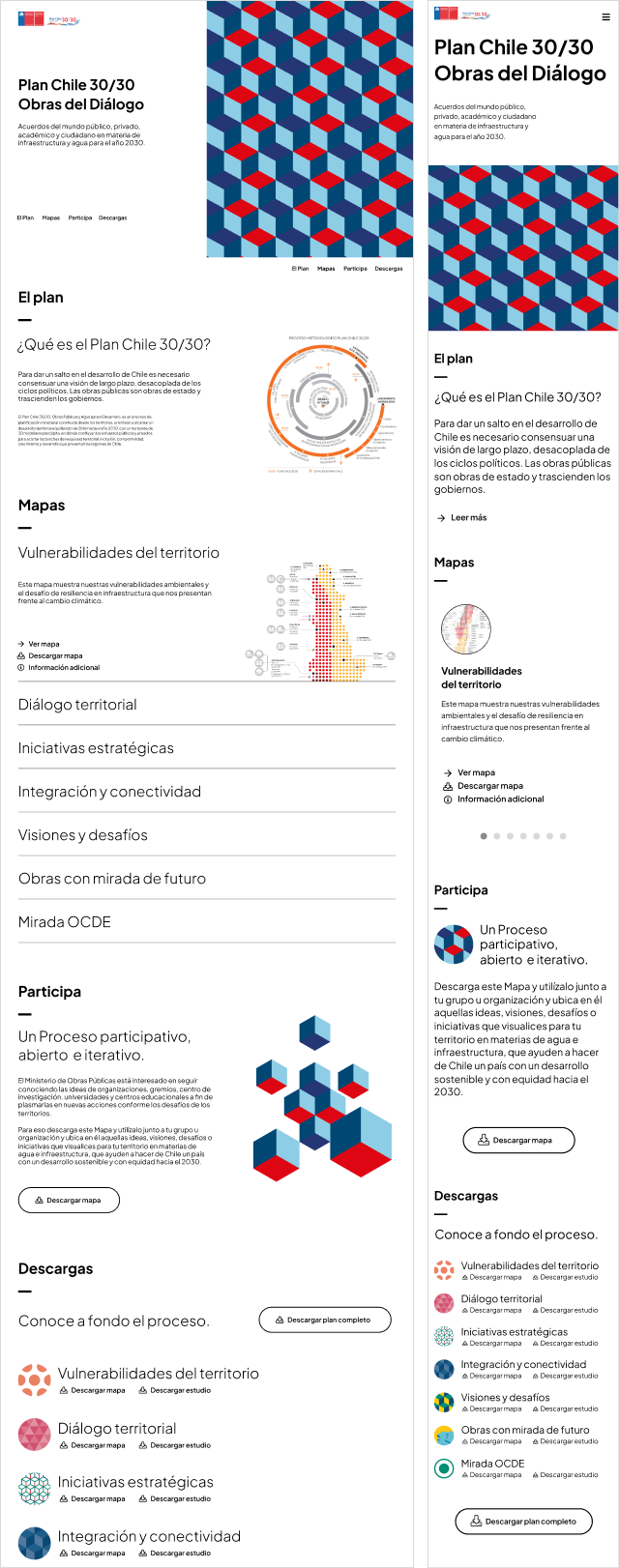
The government has made a collection of several statistical studies to map the conditions of the Chilean territory as part of a strategic plan to project development strategies to overcome thirty challenges by the year 2030.
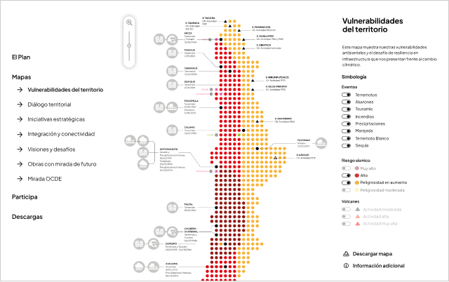
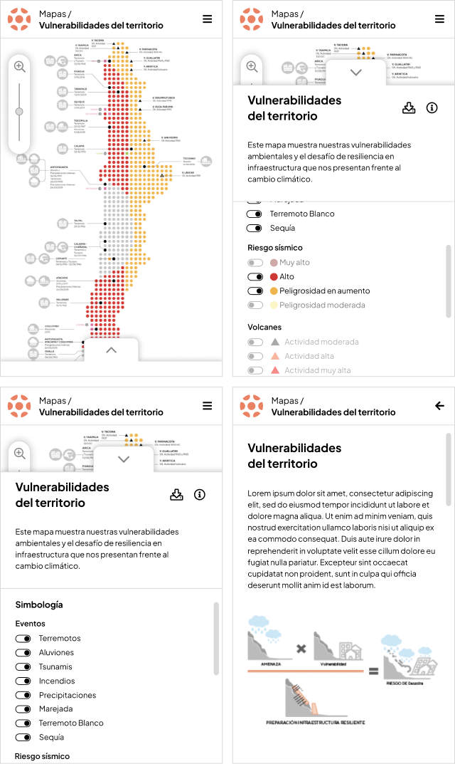
These studies are presented in seven maps that display different information categories throughout the Chilean territory. The main challenge of this project is to make their information usable, especially in mobile devices.
Home

Map single view

